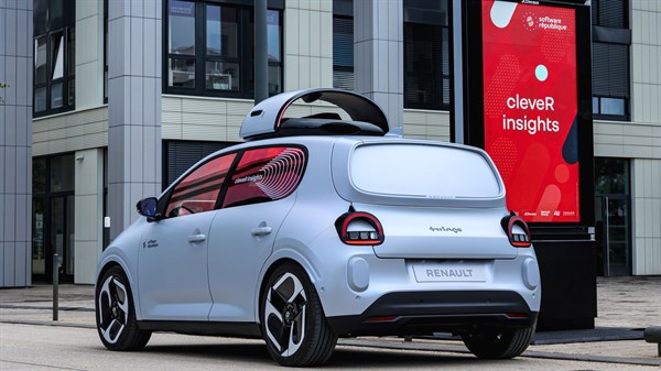
RENAULT TWINGO
cleveR insights
cleveR insights is an intelligent ecosystem capable of analyzing and mapping the urban environment
it supports public-sector players in taking effective action
it can be integrated into Renault Twingo E-Tech electric, a city-car by nature, to improve the quality of life for all.
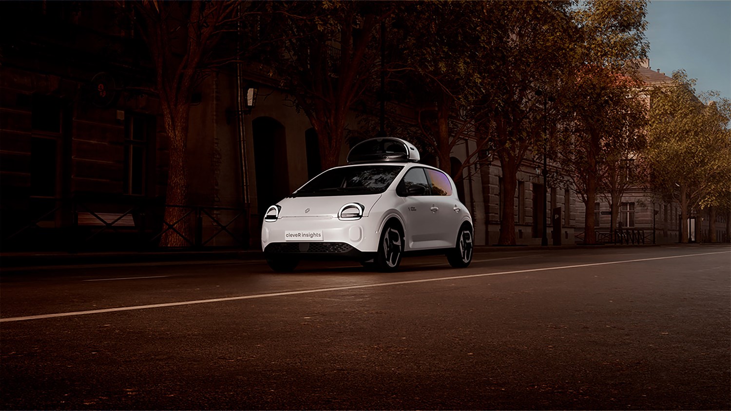
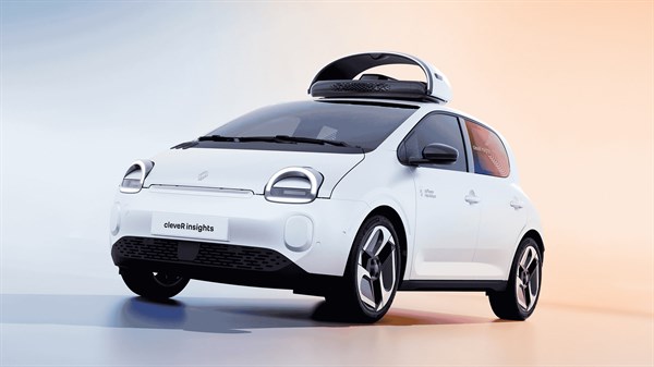
small in size, big in use
Renault Twingo E-Tech electric is designed for urban mobility with its small footprint and agility. Augmented with sensors and cameras with the cleveR insights device, each of its journeys becomes an opportunity to collect data, analyze it and add value to it.
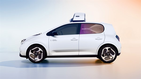
from connectivity to augmented vision
Renault Twingo E-Tech electric was already connected. With cleveR insights, it equips itself with AI video analysis, capable of analyzing images and rendering an intelligent map of its environment in real time, which is automatically relayed to local authorities.
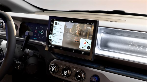
customised interface
If required, the driver can access the information collected in real time and view it on the central screens, which feature a customised interface. Depending on the data captured, a dynamic map appears and is enhanced in real time.
cleveR insights: understanding the city to better transform it

for our customers
With cleveR insights, urban areas develop a clearer understanding of their surroundings Agents' journeys in the field become a source of information, enabling us to identify actions to prioritise in order to better coordinate the city's professions and optimise their efficiency.
cleveR insights contributes to improving the urban environment.
a field experiment
Paris-Saclay, an innovative area undergoing rapid transformation, is becoming the testing ground for Software République and Renault.
cleveR insights has been tested in real-life conditions to map the city and target needs: roadworks, infrastructure repairs, identification of heat islands, etc.